Industrial Drone Inspections
We make industrial inspections, from mission planning to data analysis and reporting, easy and efficient.
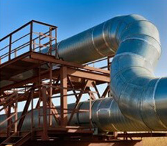
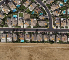
Industrial inspections once powered by UAVs become much faster and cost-effective. The use cases are numerous: construction progress monitoring; aerial inspections with LIDAR and various sensors, such as GPR, magnetometer, and methane detectors; precision agriculture and crop health monitoring; inspections of PV solar panels, chimneys, roofs, pipelines; and wind turbine blade imaging, etc. In many industries, drones not only reduce costs, but also increase safety of the team in the field.
NNTC has extensive expertise, software, and industry experts to design and implement drone-enabled industrial inspection solutions, as well as provide training, shadowing and support during customer operations
NNTC offers a turnkey solution for the entire inspection process, from mission planning to data analysis and instant reporting.
SOLUTION COMPONENTS
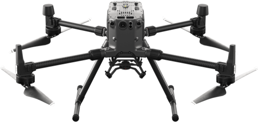
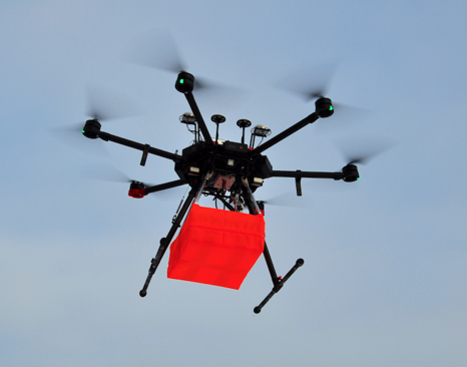
Drone
We will advise you on the best-fit UAV types, fly conditions, and payload. Our mission planner and software are compatible with all popular UAV platforms, and we regularly expand the list to cover new vehicles and payloads.
Sensors & Payloads
Drone-mounted sensors can solve a broad range of inspection tasks:
- Thermal/IR and multispectral cameras mounted on drones can address solar panel inspection and crop monitoring tasks.
- Methane detector for remote gas leak detection proved its efficiency in plant safety audits, gas pipeline and tank inspections, as well as landfill emission monitoring.
- Oil spill detection solution using polarization cameras works both day and night, identifying crude and refined oils in almost any weather conditions.
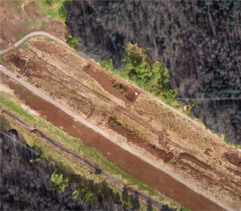
- Ground penetrating radar “sees” through the ground surface, rocks and freshwater. GPR helps search for and precisely locate underground communications during civil engineering projects and is widely applied in archaeology and bathymetric studies.
- Magnetometer effectively locates buried infrastructure (pipes/cables), as well as any metal objects weighing a few hundred grams or heavier and lying underground.
- Echo sounder can be applied for airborne bathymetric surveys of tailings dams, ponds, and open mine pits, and other coastal and inland waters.
- Metal detector enables easy detection of metal objects both on the ground and underground.
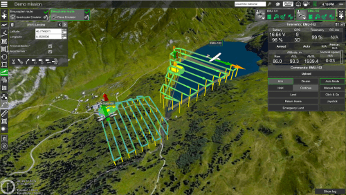
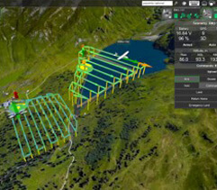
Drone control & mission planning system
NNTC is an authorized reseller of UgCS, a globally known UAV mission planning and flight control software solution that supports most popular UAV platforms and features automated drone mission planning, post-flight analysis, and image processing.
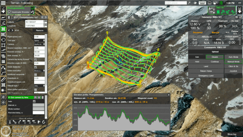
True terrain-following system
It helps a drone constantly fly low above the ground without the need to import precise Digital Elevation Model (DEM) height-map into a mission planner. Such flight precision is crucial to construction, engineering and mining surveys employing magnetometers or GPR sensors.
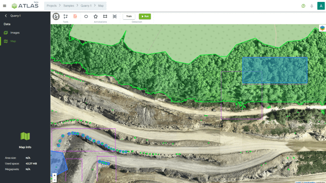
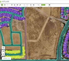
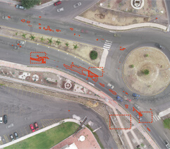
AI-powered drone data analysis and reporting platform
Upload images from the drone, annotate 1-5% of data manually and train AI detectors using your annotations to automate the recognition process.
APPLICATIONS